
C-Map® Reveal: Darwin to Esperance Chart
Details
https://www.bcf.com.au/p/c-map-reveal-darwin-to-esperance-chart/599769.htmlPromotions
 Pay in 4


Additional Information
Product Info
Product Info
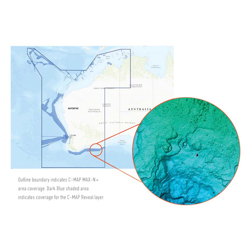
C-MAP® Reveal Charts give you a clearer picture of your surroundings so that you can make the most of your time on the water. Whether you're cruising around or spending the day with a fishing rod in hand, these high-resolution charts will help you navigate the water more safely. By providing a detailed view of the structures and contour changes on the seafloor, you'll also be able to find fishy spots that other fishos simply can't see. A key feature of these maps is the Shaded Relief setting which displays bottom contour in a way that looks like a 3D topographic chart on land giving you a clearer picture of and wrecks, structure, humps, or bumps down below.
Jam-packed with features including Custom Depth Shading, High Resolution Bathymetric Data, Genesis...
Features
- Detailed charts from Darwin to Esperance
- Provides a 3D-like image of underwater contours and structure through the Shaded Relief function
- New features such as Custom Depth Shading, High Resolution Bathymetric Data, Genesis Layer, and Satellite Overlay combine to help you navigate your su
- Easily accessible tides and current data help you plan your day whether you're cruising or fishing
- Detailed Marina Port Plans and Harbour & Approach Details aid navigation and safe passage when boating in unfamiliar locations
- Find areas that other fishos might miss and easily mark these for your next fishing trip
- Aerial Photography provides an extra level of detail and enables you to understand your surroundings more easily
- Compatible with Lowrance, Simrad, and B&G Chartplotters